Suomen eteläisin erämaa
Peura Trail juostaan Etelä-Sydänmaan ja Harjuntakasen karuissa ja kauniissa maastoissa. Kyseessä on Suomen eteläisin erämainen alue. Alueelle tunnusomaisia piirteitä ovat lukuisat pirunpellot, suot, järvet ja lammet.
Suomen teknisimmät polut
Peura Trail on polkujuoksua aidoimmillaan. Meiltä et löydä tasaista neulospolkua, sileää kalliota tai sorastettuja baanoja. Kapean ja mutkittelevan polun sekä karun ja kivisen maastonpohjan yhdistelmä haastaa kokeneenkin polkujuoksijan. Lyhyet pitkospuuosuudet ja metsäautotien pätkät tuovat hetkellistä helpotusta.
25 järveä
Etelä-Sydänmaan ja Harjuntakasen alueella on lukematon määrä koskemattomia pienvesistöjä, kuten järviä, lampia, puroja ja lähteitä. 51 km reitin varrella järviä voi nähdä yhteensä 25.
Deer trail
Deer trail is a 77 km hiking trail in the rugged watershed region of Northern Ostrobothnia, Central Ostrobothnia and Suomenselkä in Central Finland. Along the path, the walkers can see the wilderness: swamps, forests and lakes, which until these days have remained as sparsely inhabited remote corners. The nature of the area is at its most natural in the Salamajärvi National Park and the Etelä Sydänmaa conservation area.
The deer trail is mainly located on state lands. With numerous places to stay and rest, it offers versatile camping opportunities, from short day trips to long hikes. The deer's path is marked with orange paint marks on the trees.
Suurijärvi hiking trail
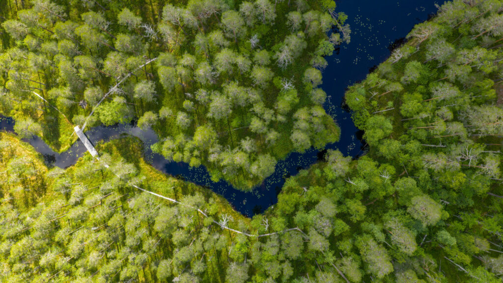
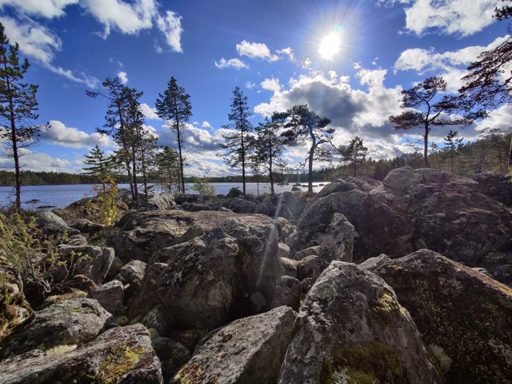
The landscape of the Suurijärvi route offers the traveler a rich and varied nature. In addition to the area's barren oaks and pines, there are tar ladybugs, sedges and other swamp types in the area.
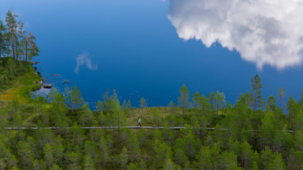
The wilderness look is accentuated in untouched natural small bodies of water such as lakes, ponds, streams and springs. There is also a "sea" called Multarinmeri in the area. Hikers can admire the early stages of our natural history, such as post-glacial sea stages, beach ramparts, beach pebbles and pebbles.